The city of Aveiro in Portugal is at the vanguard in technological advancement with its new Digital Twin project, part of a project in an informatics course in the University of Aveiro. This pioneering initiative develops a virtual replica of the city, allowing for real-time data visualization and the simulation of diverse urban scenarios.
It’s obvious that in today’s modern conurbations, dealing with traffic flow and urban planning can bring massive headaches. Without this technology, city planners lack the ability to accurately simulate and predict the impact of changes in real-time. Just for context, how does traffic adjust when a road is blocked due to construction or a major event like a marathon takes place? These critical questions often remain unanswered without proper tools.
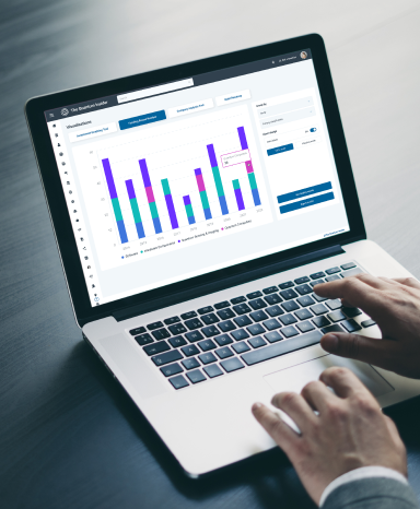
The Aveiro Digital Twin serves the primary purpose of “simulating and visualizing traffic, allowing the user to simulate possible scenarios by utilizing the available methods.” It integrates sensor data from across the city, using software like SUMO and CARLA to create 2D and 3D simulations that assist in decision-making and urban planning.

The platform offers powerful features, such as visualizing traffic for any specific day and time using historical data, generating vehicles with random behaviors to simulate diverse scenarios, adding cars, motorcycles, bikes, and pedestrians with custom start and end points, simulating road blockages by easily blocking roundabouts and roads, and saving simulation histories to capture specific traffic flows.
By integrating real and simulated data seamlessly, urban managers can anticipate problems and plan effective solutions. The collected data helps create strategies to improve citizens’ quality of life, making Aveiro a smarter and more sustainable city.
If you found this article to be informative, you can explore more current Digital Twin news here exclusives, interviews, and podcasts.


